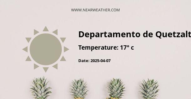
Weather and Climate in Quetzaltenango, Guatemala
Quetzaltenango, also known as Xela, is the capital of the Quetzaltenango Department in the western highlands of Guatemala. Its climate is influenced by its high elevation and mountainous terrain, offering a unique and varied weather experience throughout the year.
Annual Weather Overview
Quetzaltenango experiences a subtropical highland climate, characterized by relatively mild temperatures and distinct wet and dry seasons. The city's elevation of approximately 2,330 meters (7,640 feet) contributes to its cooler climate compared to lower-lying areas in Guatemala.
Temperature
The average annual temperature in Quetzaltenango is around 16°C (61°F). However, due to its elevation, the city experiences significant temperature variations throughout the day. Daytime temperatures typically range from 18°C to 22°C (64°F to 72°F), while nighttime temperatures can drop to 6°C to 10°C (43°F to 50°F).
The coolest months are from November to February, with average temperatures around 14°C (57°F). The warmest months are from March to May, with average temperatures around 18°C to 20°C (64°F to 68°F).
Precipitation
Quetzaltenango has a distinct wet season from May to October and a drier season from November to April. The wet season brings the majority of the city's annual precipitation, with heavy rainfall occurring mainly in the afternoons and evenings.
The average annual precipitation in Quetzaltenango is approximately 1,000 to 1,400 millimeters (39 to 55 inches). The highest precipitation occurs from June to September, with monthly averages ranging from 150 to 300 millimeters (6 to 12 inches). The drier months are from November to April, with significantly lower precipitation levels.
Climate Chart
To visualize the climate pattern, the following chart illustrates the average monthly temperature and precipitation levels in Quetzaltenango:

Microclimates
Due to its diverse topography, Quetzaltenango and its surrounding areas feature microclimates with variations in temperature and precipitation. For example, the nearby towns of Zunil and Almolonga may experience slightly different weather patterns compared to the city center, creating localized climate nuances.
Weather Hazards
While Quetzaltenango generally enjoys a mild climate, it is important to note that the region is susceptible to weather-related hazards such as landslides and localized flooding during periods of heavy rainfall. It is advisable for visitors and residents to stay informed about weather forecasts and heed any precautionary measures advised by local authorities during the wet season.
Conclusion
Quetzaltenango's highland climate offers a captivating blend of mild temperatures, distinct wet and dry seasons, and microclimatic variations. Whether you're a visitor planning your trip or a resident navigating daily life, understanding the city's weather patterns can enhance your experience in this picturesque region of Guatemala.
A - Departamento de Quetzaltenango's Latitude is 14.750000 & Longitude is -91.666672.
A - Weather in Departamento de Quetzaltenango is 17° today.
A - Climate Conditions in Departamento de Quetzaltenango shows light rain today.
A - Humidity in Departamento de Quetzaltenango is 94% today.
A - Wind speed in Departamento de Quetzaltenango is 1.62 km/h, flowing at 13° wind direction. today.
