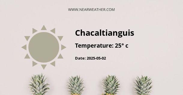
Climate and Weather in Chacaltianguis, Mexico
Chacaltianguis, a town located in the southeastern part of the state of Veracruz, Mexico, experiences a tropical climate influenced by its proximity to the Gulf of Mexico. The town's weather is characterized by distinct wet and dry seasons, with warm temperatures prevailing throughout the year.
Annual Temperature and Precipitation
The average annual temperature in Chacaltianguis is around 25°C (77°F). The hottest months are typically May through September, with average highs ranging from 32°C to 35°C (90°F to 95°F). The coolest months are December through February, with average lows of 17°C to 20°C (63°F to 68°F).
Chacaltianguis receives a significant amount of rainfall, with the rainy season lasting from June to September. The average annual precipitation is approximately 1,500 mm (59 inches), with the highest rainfall occurring from July to September.
Seasonal Variations
The dry season in Chacaltianguis spans from November to April, with significantly lower rainfall and sunny weather. This period is characterized by warm temperatures and lower humidity, making it an ideal time for outdoor activities and tourism.
Conversely, the wet season, from May to October, brings heavy rainfall and increased humidity. This period can experience tropical storms and hurricanes, which are common in the coastal regions of Mexico. It is essential for residents and visitors to stay updated on weather forecasts and preparedness measures during these months.
Climate Charts and Data
To provide a visual representation of Chacaltianguis's climate, the following tables and charts present detailed information on temperature and precipitation:
Chacaltianguis Monthly Average Temperatures
| Month | Average High (°C) | Average Low (°C) |
|---|---|---|
| January | 29 | 18 |
| February | 30 | 18 |
| March | 32 | 20 |
| April | 34 | 22 |
| May | 35 | 23 |
| June | 33 | 23 |
| July | 33 | 22 |
| August | 33 | 22 |
| September | 33 | 22 |
| October | 32 | 21 |
| November | 31 | 20 |
| December | 30 | 19 |
Chacaltianguis Average Monthly Precipitation
| Month | Precipitation (mm) |
|---|---|
| January | 60 |
| February | 40 |
| March | 30 |
| April | 50 |
| May | 130 |
| June | 280 |
| July | 300 |
| August | 290 |
| September | 330 |
| October | 230 |
| November | 90 |
| December | 70 |
Weather Safety and Preparedness
Given the variability in weather patterns, preparation for both the dry and wet seasons is crucial. Visitors and residents should stay updated on local weather forecasts, particularly during the wet season, and heed any advisories or warnings from local authorities.
It is also important to be aware of hurricane preparedness measures, especially if traveling to Chacaltianguis during the peak of the wet season. Having an emergency kit, knowing evacuation routes, and understanding community emergency plans can help mitigate risks associated with severe weather events.
In conclusion, Chacaltianguis, Mexico, boasts a tropical climate with distinct wet and dry seasons. The town experiences warm temperatures throughout the year, with notable variations in rainfall and humidity. By staying informed and prepared for the different weather conditions, visitors and residents can fully appreciate the natural beauty and offerings of this vibrant region.
A - Chacaltianguis's Latitude is 18.333330 & Longitude is -95.833328.
A - Weather in Chacaltianguis is 25° today.
A - Climate Conditions in Chacaltianguis shows clear sky today.
A - Humidity in Chacaltianguis is 89% today.
A - Wind speed in Chacaltianguis is 7.49 km/h, flowing at 287° wind direction. today.
