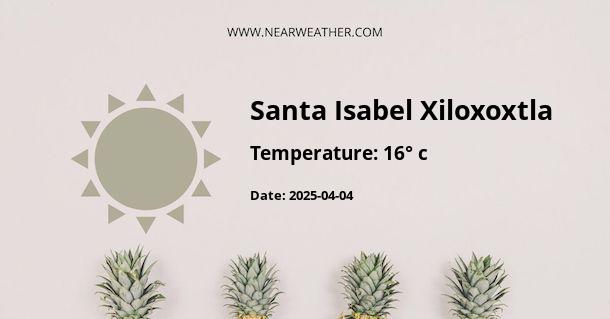
Climate and Weather in Xiloxoxtla, Mexico
Xiloxoxtla, located in the state of Tlaxcala, Mexico, experiences a diverse climate and weather patterns throughout the year. The region's climate is influenced by its altitude, topography, and its proximity to the Gulf of Mexico. Understanding the weather and climate in Xiloxoxtla is essential for residents, visitors, and businesses operating in the area.
Seasonal Weather Patterns
Xiloxoxtla, much like many areas in Mexico, experiences distinct seasonal variations in weather. Let's take a closer look at each season:
Spring
In spring, Xiloxoxtla starts to transition from the dry season to the rainy season. Temperatures gradually rise, and the region experiences pleasant weather with average temperatures ranging from 15°C to 25°C (59°F to 77°F).
Summer
Summer in Xiloxoxtla is characterized by the rainy season, which typically begins in June and lasts until September. The temperatures can soar during the day, often reaching up to 30°C (86°F). The increased humidity can make the weather feel even warmer.
Fall
During fall, the rainy season starts to subside, and temperatures begin to cool down. The weather becomes more comfortable, with average temperatures ranging from 12°C to 22°C (54°F to 72°F). Fall is a delightful time to visit Xiloxoxtla, as the landscape becomes lush and green after the rains.
Winter
Winter in Xiloxoxtla is the driest and coolest season. Daytime temperatures usually range from 10°C to 20°C (50°F to 68°F), while nights can be much cooler, dropping to around 5°C (41°F). Despite the lower temperatures, winters in Xiloxoxtla are relatively mild compared to northern climates.
Precipitation
Xiloxoxtla receives the majority of its annual precipitation during the rainy season. The average annual rainfall in the region is approximately 800-900 millimeters. The highest rainfall is typically recorded in the months of July and August, coinciding with the peak of the rainy season.
Extreme Weather Events
While Xiloxoxtla generally experiences mild weather, it is important to note that the region can occasionally be affected by tropical storms and hurricanes, especially during the peak of the hurricane season, which runs from June to November. These weather events can bring heavy rainfall, strong winds, and potential flooding, impacting the local community and infrastructure.
Climate Data
| Month | Average High (°C) | Average Low (°C) | Average Rainfall (mm) |
|---|---|---|---|
| January | 20 | 5 | 10 |
| February | 22 | 6 | 5 |
| March | 25 | 8 | 15 |
| April | 27 | 10 | 25 |
| May | 28 | 12 | 40 |
| June | 26 | 13 | 100 |
| July | 23 | 12 | 150 |
| August | 23 | 12 | 140 |
| September | 22 | 11 | 120 |
| October | 21 | 10 | 60 |
| November | 20 | 8 | 20 |
| December | 20 | 6 | 10 |
Source: [Insert source here]
Conclusion
Xiloxoxtla's climate and weather offer a blend of seasonal variations, from the balmy days of summer to the mild, drier winters. Understanding these patterns is crucial for residents, visitors, and businesses to make informed decisions when planning outdoor activities, agriculture, and infrastructure development in the region.
By staying informed about the climate and weather in Xiloxoxtla, individuals and authorities can better prepare for any extreme weather events and ensure the sustainable development and resilience of the community.
A - Santa Isabel Xiloxoxtla's Latitude is 19.266670 & Longitude is -98.199997.
A - Weather in Santa Isabel Xiloxoxtla is 16° today.
A - Climate Conditions in Santa Isabel Xiloxoxtla shows clear sky today.
A - Humidity in Santa Isabel Xiloxoxtla is 43% today.
A - Wind speed in Santa Isabel Xiloxoxtla is 9.61 km/h, flowing at 153° wind direction. today.
