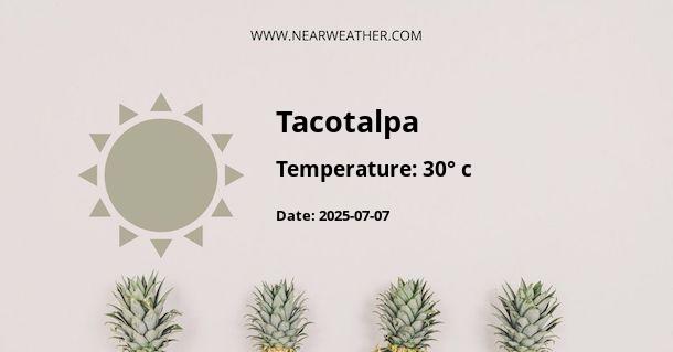
Tacotalpa, Mexico: Climate and Weather Overview
Tacotalpa is a municipality located in the Mexican state of Tabasco. The region is known for its diverse climate and unique weather patterns that make it a fascinating area to explore. Understanding the climate and weather of Tacotalpa is essential for residents, visitors, and businesses operating in the region. This comprehensive guide provides an in-depth analysis of Tacotalpa's climate and weather throughout the year.
Climate of Tacotalpa
Tacotalpa experiences a tropical monsoon climate, characterized by distinct wet and dry seasons. The region's climate is influenced by its proximity to the Gulf of Mexico and the surrounding topography, which includes mountains, rivers, and dense rainforests. The combination of these factors contributes to the unique microclimates found within Tacotalpa.
The average annual temperature in Tacotalpa is approximately 25°C (77°F), with minimal variation throughout the year. The warmest months are typically May through October, with temperatures reaching highs of 32°C (89.6°F) and above. The coolest months occur from November to February, with average temperatures ranging from 22°C to 27°C (71.6°F to 80.6°F).
Weather Patterns Throughout the Year
Understanding the seasonal weather patterns in Tacotalpa is crucial for planning outdoor activities, agricultural practices, and resource management. The following chart provides a detailed overview of the average monthly precipitation and temperature in Tacotalpa:
| Month | Precipitation (mm) | Average Temperature (°C) |
|---|---|---|
| January | 35 | 24 |
| February | 25 | 25 |
| March | 20 | 26 |
| April | 60 | 27 |
| May | 150 | 28 |
| June | 260 | 28 |
| July | 220 | 28 |
| August | 230 | 27 |
| September | 270 | 27 |
| October | 240 | 26 |
| November | 60 | 25 |
| December | 40 | 24 |
As illustrated in the chart, Tacotalpa experiences a distinct wet season from May to October, with significantly higher precipitation levels compared to the drier months from November to April. The wet season is characterized by frequent rain showers, thunderstorms, and occasional flooding, whereas the dry season offers more stable and sunny weather conditions.
Extreme Weather Events
Due to its tropical climate, Tacotalpa is susceptible to extreme weather events such as hurricanes and tropical storms, especially during the Atlantic hurricane season from June to November. These weather phenomena can bring heavy rainfall, strong winds, and potential damage to infrastructure and agriculture. It is crucial for residents and authorities to remain vigilant and prepared for such events by implementing effective disaster management strategies.
Impact of Climate Change
Like many regions around the world, Tacotalpa is experiencing the impacts of climate change, including shifts in rainfall patterns, increased temperatures, and potential ecological disturbances. These changes have the potential to affect agriculture, water resources, and biodiversity, emphasizing the need for proactive measures to mitigate and adapt to climate change in the region.
Conclusion
Tacotalpa's climate and weather present a dynamic and diverse environment shaped by its tropical monsoon climate and unique geographical features. Understanding the seasonal variations, extreme weather events, and the impact of climate change is essential for the sustainable management and development of Tacotalpa. By incorporating this knowledge into local planning and decision-making, Tacotalpa can continue to thrive in the face of evolving weather patterns and global climate challenges.
A - Tacotalpa's Latitude is 17.600000 & Longitude is -92.816673.
A - Weather in Tacotalpa is 25° today.
A - Climate Conditions in Tacotalpa shows overcast clouds today.
A - Humidity in Tacotalpa is 91% today.
A - Wind speed in Tacotalpa is 6.12 km/h, flowing at 107° wind direction. today.
