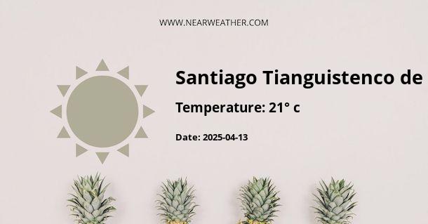
# Weather in Tianguistenco, Mexico Tianguistenco is a municipality located in the State of Mexico, Mexico. The area features a subtropical highland climate with relatively consistent temperatures throughout the year. Understanding the weather patterns and climate of Tianguistenco is essential for residents, visitors, and businesses in the region. This comprehensive guide will provide an in-depth analysis of the weather in Tianguistenco, including temperature ranges, precipitation levels, seasonal variations, and other relevant weather-related information. ## Climate Overview Tianguistenco experiences a subtropical highland climate, characterized by mild to warm temperatures throughout the year. The climate is heavily influenced by its high elevation, which contributes to cooler temperatures compared to lower-lying areas. The region's climate can be classified as Cwb according to the Köppen-Geiger climate classification, which signifies a subtropical highland climate with significant precipitation in the summer. ## Temperature The temperature in Tianguistenco varies based on the time of year. The summer months, from June to August, tend to be the warmest, with average high temperatures reaching around 24°C (75°F) and lows averaging around 10°C (50°F). Winters, spanning from December to February, are cooler, with average high temperatures of approximately 21°C (70°F) and lows dropping to around 6°C (43°F). The transitional seasons of spring and fall experience moderate and pleasant temperatures, with highs ranging from 20°C to 23°C (68°F to 73°F) and lows between 7°C and 11°C (45°F to 52°F). | Month | Average High (°C) | Average Low (°C) | |-------------|--------------------|-------------------| | January | 21 | 6 | | February | 21 | 6 | | March | 22 | 7 | | April | 23 | 8 | | May | 23 | 9 | | June | 24 | 10 | | July | 23 | 10 | | August | 23 | 10 | | September | 23 | 10 | | October | 23 | 9 | | November | 22 | 8 | | December | 21 | 6 | ## Precipitation Tianguistenco experiences a pronounced wet season during the summer months, with precipitation peaking from June to August. This period accounts for the majority of the annual rainfall in the region. The precipitation levels gradually decrease from September onwards, reaching their lowest point in the winter months. On average, Tianguistenco receives approximately 800-900 mm (31-35 inches) of rainfall annually. The distribution of rainfall is relatively uneven throughout the year, with the wettest months typically receiving a significant portion of the total annual precipitation. The dry season, which spans from November to April, experiences lower levels of rainfall, creating a distinct contrast with the wetter summer months. ## Seasonal Variations Tianguistenco exhibits clear seasonal variations, with each season offering a unique and distinct climate experience. The following overview highlights the key characteristics of each season: - **Summer (June to August):** The summer months bring warmer temperatures and higher levels of precipitation, creating a lush and green landscape in Tianguistenco. Thunderstorms are common during this period, contributing to the majority of the annual rainfall. - **Fall (September to November):** Fall signifies the transition from the wet season to drier conditions. Temperatures begin to gradually decrease, and the foliage undergoes a gradual transformation, showcasing a rich array of autumnal colors. - **Winter (December to February):** Winter in Tianguistenco is characterized by cooler temperatures and minimal precipitation. While the region rarely experiences freezing temperatures, the cooler climate is noticeable, especially during the night. - **Spring (March to May):** Spring brings milder temperatures and the gradual return of greenery as the region emerges from the drier winter months. The landscape undergoes a rejuvenation, with vibrant blooms and revitalized vegetation. ## Conclusion Understanding the climate and weather patterns in Tianguistenco is vital for residents, tourists, and businesses in the region. The distinct seasonal variations, temperature fluctuations, and precipitation levels shape the local environment and influence various activities and industries. By providing insight into the climate of Tianguistenco, this guide equips individuals and organizations with valuable information for planning and decision-making, ensuring they can adapt and thrive within the unique weather conditions of the area.
A - Santiago Tianguistenco de Galeana's Latitude is 19.179720 & Longitude is -99.470558.
A - Weather in Santiago Tianguistenco de Galeana is 21° today.
A - Climate Conditions in Santiago Tianguistenco de Galeana shows clear sky today.
A - Humidity in Santiago Tianguistenco de Galeana is 7% today.
A - Wind speed in Santiago Tianguistenco de Galeana is 11.23 km/h, flowing at 61° wind direction. today.
