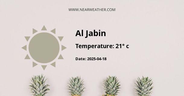
Introduction to Al Jabin, Yemen
Al Jabin is a city located in the western region of Yemen and is known for its unique geography and climate. The city experiences a semi-arid climate with a varying temperature and rainfall pattern throughout the year. This article provides a comprehensive guide to the climatic conditions, weather patterns, and geographical features that make Al Jabin a unique location to study.
Geography of Al Jabin
Al Jabin is nestled in the western region of Yemen, a country situated on the southern tip of the Arabian Peninsula. The city is surrounded by a diverse range of geographical features ranging from mountains and hills to valleys and plains, contributing to its unique climate.
Climate of Al Jabin
The city of Al Jabin experiences a semi-arid climate, characterized by hot summers and mildly cold winters. The semi-arid climate is typical for areas on the border of desert regions, where rainfall is not plentiful, but there is more precipitation than in an arid desert climate.
Temperature
The temperature in Al Jabin varies significantly through the year. The city experiences a warm season that lasts from April to June with an average daily high temperature above 37°C. The hottest month of the year is May, with an average high of 39°C and low of 26°C.
The cold season lasts from December to February with an average daily high temperature below 30°C. The coldest month is January, with an average low of 17°C and high of 29°C.
Rainfall
Despite its semi-arid climate, Al Jabin does experience rainfall, albeit not in large quantities. The city receives most of its rainfall during the monsoon season, which typically occurs from July to September. The heaviest rainfall usually occurs in August, with an average precipitation of 60mm.
Humidity
Humidity in Al Jabin can vary, but it's usually highest during the monsoon season. The most humid month is August, with an average relative humidity of 70%, providing a slight respite from the intense heat.
The unique combination of temperature, rainfall, and humidity patterns in Al Jabin contributes to its semi-arid climate, making it a unique study in climatology.
Weather Patterns in Al Jabin
The weather in Al Jabin is influenced by its geographical location and the prevailing wind patterns. The city is influenced by the monsoon winds, which bring in moisture from the nearby Red Sea, leading to the city's monsoon season.
Moreover, the city's surrounding mountains play a significant role in its weather patterns. These geographical features act as a barrier, trapping moisture and causing localized changes in weather.
Year-round Climate and Weather Data
| Month | Average High Temp (°C) | Average Low Temp (°C) | Average Precipitation (mm) |
|---|---|---|---|
| January | 29 | 17 | 10 |
| February | 30 | 18 | 10 |
Conclusion
The climate and weather patterns of Al Jabin, Yemen, are influenced by a variety of factors, including its geographical location, topography, and the influence of the monsoon winds. Despite being a semi-arid region, Al Jabin experiences a range of temperatures and a monsoon season, making it a unique study in climatology.
Understanding Al Jabin's climate and weather patterns is crucial for various sectors, including agriculture, tourism, and even urban planning. It also provides valuable insights into the impacts of climate change on semi-arid regions.
A - Al Jabin's Latitude is 14.704010 & Longitude is 43.599041.
A - Weather in Al Jabin is 24° today.
A - Climate Conditions in Al Jabin shows light rain today.
A - Humidity in Al Jabin is 59% today.
A - Wind speed in Al Jabin is 4.07 km/h, flowing at 256° wind direction. today.
