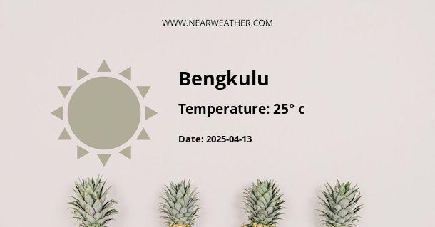
Climate and Weather in Bengkulu, Indonesia
Bengkulu is a province located on the western coast of Sumatra Island, Indonesia. It is known for its beautiful beaches, rich history, and unique culture. The province experiences a tropical climate, influenced by its proximity to the equator and the Indian Ocean. In this article, we will explore the climate and weather patterns in Bengkulu throughout the year.
Temperature
The temperature in Bengkulu remains relatively consistent throughout the year, with high humidity levels due to its coastal location. The average annual temperature ranges from 25°C to 30°C (77°F to 86°F). The hottest months are typically from March to May, with temperatures often reaching 32°C (90°F) during the day. The coolest months are from November to January, with temperatures dropping to around 24°C (75°F) at night.
The table below provides a monthly breakdown of the average temperature in Bengkulu:
| Month | Average Temperature (°C) |
|---|---|
| January | 26 |
| February | 26 |
| March | 27 |
| April | 27 |
| May | 28 |
| June | 28 |
| July | 28 |
| August | 28 |
| September | 28 |
| October | 28 |
| November | 27 |
| December | 26 |
Rainfall
Bengkulu experiences a tropical rainforest climate with significant rainfall throughout the year. The province receives an average annual rainfall of around 2,500 millimeters (98 inches). The wettest months are typically from October to January, while the drier months are from June to August.
The chart below illustrates the monthly rainfall patterns in Bengkulu:

During the wet season, heavy rain showers and thunderstorms are common, often accompanied by strong winds. It is advisable to carry an umbrella or raincoat and be prepared for occasional flooding in low-lying areas.
Humidity
Bengkulu has a high level of humidity throughout the year, with average humidity ranging from 75% to 85%. The coastal location and tropical climate contribute to the high humidity levels. Visitors to Bengkulu should be prepared for the sticky and humid conditions by wearing light and breathable clothing.
Wind Patterns
Bengkulu experiences moderate to strong winds, particularly during the rainy season. The prevailing winds in the region come from the southwest, influenced by the Indian Ocean. These winds help to cool down the coastal areas and provide relief from the humidity.
Climatic Influences
Bengkulu's climate is influenced by several factors, including its proximity to the equator, the Indian Ocean, and the surrounding mountain ranges. The province is located in the equatorial belt, resulting in a consistent temperature throughout the year. The Indian Ocean also plays a significant role in shaping the climate, providing moisture for rainfall and affecting wind patterns.
The Bukit Barisan mountain range, which runs parallel to the western coast of Sumatra, acts as a barrier to air masses, causing orographic rainfall in the region. This phenomenon contributes to the high rainfall levels in Bengkulu.
Conclusion
Bengkulu, Indonesia, offers a tropical climate with consistent temperatures and high humidity throughout the year. The province experiences significant rainfall, particularly during the wet season, which lasts from October to January. Visitors to Bengkulu should be prepared for hot and humid conditions, as well as occasional heavy rain showers and thunderstorms. It is advisable to check weather forecasts and pack suitable clothing and accessories when planning a trip to this beautiful coastal province.
A - Bengkulu's Latitude is -3.799650 & Longitude is 102.266830.
A - Weather in Bengkulu is 25° today.
A - Climate Conditions in Bengkulu shows overcast clouds today.
A - Humidity in Bengkulu is 88% today.
A - Wind speed in Bengkulu is 6.66 km/h, flowing at 295° wind direction. today.
