Climate and Weather in Britstown, South Africa
Britstown is a small town located in the Northern Cape province of South Africa. As with many parts of the country, Britstown experiences a diverse and unique climate throughout the year. Understanding the climate and weather patterns in Britstown is essential for both residents and visitors to plan their activities and make the most of their time in this beautiful region.
Geographical Location
Britstown is situated in the Karoo region of South Africa, approximately 120 kilometers north of the city of Kimberley. It is located at an elevation of around 1,300 meters above sea level. The town is surrounded by vast open plains and is known for its agricultural activities, particularly sheep farming.
Annual Temperature
Britstown experiences a semi-arid climate characterized by hot summers and cold winters. The average annual temperature in the town is around 18 degrees Celsius (64 degrees Fahrenheit). However, it is important to note that temperatures can vary significantly throughout the year.
During the summer months of December to February, temperatures in Britstown can soar to an average high of 34 degrees Celsius (93 degrees Fahrenheit) during the day. It is not uncommon for temperatures to exceed 40 degrees Celsius (104 degrees Fahrenheit) on particularly hot days. Nights are relatively cooler, with average lows of around 17 degrees Celsius (63 degrees Fahrenheit).
In contrast, winters in Britstown can be quite chilly, with average daytime temperatures ranging from 14 to 20 degrees Celsius (57 to 68 degrees Fahrenheit). However, temperatures can drop significantly during the night, often falling below freezing point. The average winter low temperature is around 2 degrees Celsius (36 degrees Fahrenheit).
Rainfall
Britstown receives the majority of its rainfall during the summer months, with a significantly drier period during the winter. The town has an average annual rainfall of approximately 300 millimeters (11.8 inches).
The wettest month in Britstown is typically January, with an average rainfall of around 80 millimeters (3.1 inches). The summer months of November to March generally experience the highest rainfall, while the winter months of June to August are typically the driest.
It is important to note that rainfall in the Karoo region can be quite unpredictable and sporadic. This variability in rainfall patterns can have a significant impact on the local agricultural activities and overall landscape.
Wind Patterns
Britstown is known for its relatively strong and gusty winds, particularly during the summer months. The prevailing winds in the region generally blow from the south and southwest.
These winds, known as the "Cape Doctor" or "Cape Doctor Wind," can bring relief from the heat during the summer but can also contribute to dry conditions and increase the risk of bushfires.
Climate Summary
Overall, Britstown experiences a semi-arid climate with hot summers and cold winters. The town receives the majority of its rainfall during the summer months, while the winters are relatively dry. The temperature can vary significantly throughout the year, with high temperatures reaching above 40 degrees Celsius (104 degrees Fahrenheit) in summer and dropping below freezing point during winter nights.
It is advisable to plan outdoor activities during the cooler parts of the day, particularly in summer, and to be prepared for both hot and cold weather conditions when visiting Britstown.
References:
- South African Weather Service
- Weather Atlas
A - Britstown's Latitude is -30.587460 & Longitude is 23.503910.
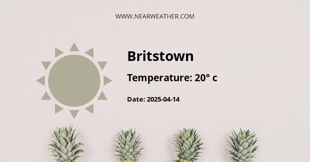
A - Weather in Britstown is 20° today.
A - Climate Conditions in Britstown shows overcast clouds today.
A - Humidity in Britstown is 29% today.
A - Wind speed in Britstown is 15.91 km/h, flowing at 245° wind direction. today.
